boljakool
Contributor
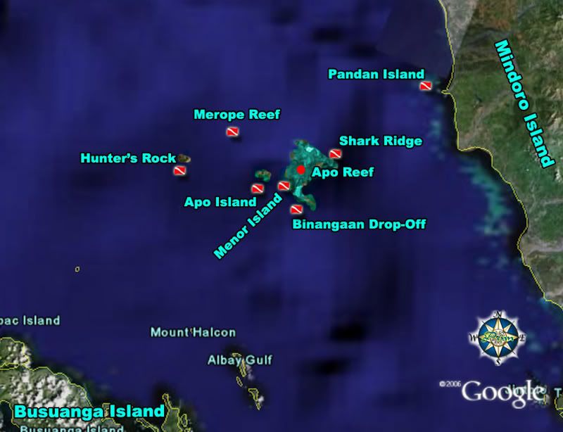
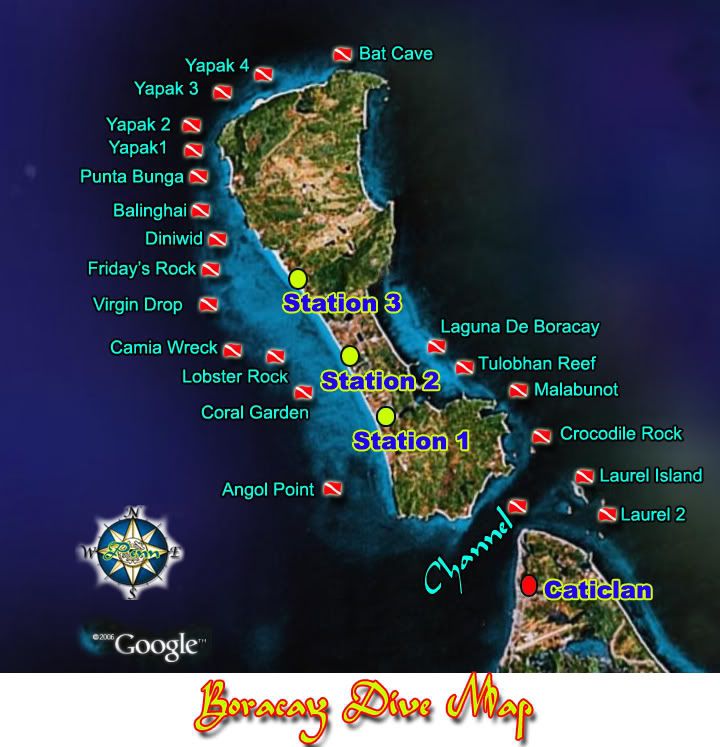
Been quite a while I haven't posted a map here.


Welcome to ScubaBoard, the world's largest scuba diving community. Registration is not required to read the forums, but we encourage you to join. Joining has its benefits and enables you to participate in the discussions.
Benefits of registering include

shugar:toughts: rather than 1 CD, a series of CDs based on general geography (batangas/ mindoro, cebu/ bohol, tuba, mindanao, etc etc etc)
whatever it is: I'M IN!
Jag
well, i'd reco that there be a "checklist" of sorts of items that will go in... just so that you don't get flooded with a lot of videos, maps, descriptions and whatnot on 1 site yet virtually nothing on anotherBabydamulag:Cool....how do you want to "put" our efforts together? Users can FTP to our server. I can establish a public directory to deposit data into and we can assemble later?

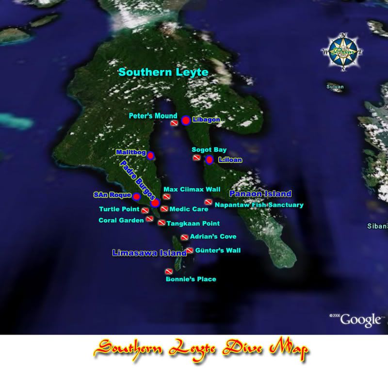
boljakool:I noticed that you guys are going to Southern Leyte for the next DOR.
This might help.


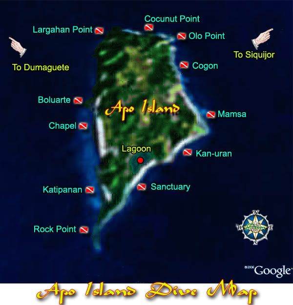
coconut point rocks HARD! thanks pennboljakool:A small island at the south-east tip of Negros Island.
It's quite hard to get a sharp image of the island from Google.
Apo Island Dive Map


