- Messages
- 53,664
- Reaction score
- 7,838
- # of dives
- 500 - 999
Looks like NC boats may have some challenges this weekend.
From Dr Masters this morning, before it was named...
From Dr Masters this morning, before it was named...
The forecast for 92L
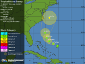
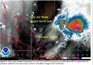
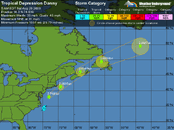
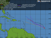
As 92L continues to plow through the upper low, the low will weaken, and wind shear is expected to decline to the low range, 5 - 10 knots, by tonight. However, the upper-level low will continue to dump dry, cold air into 92L through Thursday afternoon, slowing down development. By Thursday night, when 92L should be several hundred miles off the coast of northern Florida, the upper-level low may be weak enough and far enough away that 92L will find itself in a region with light upper level anticyclonic winds, which would favor more rapid development. Most of the intensity models, including the GFDL, HWRF, and SHIPS model, forecast that 92L will become a hurricane by Friday. However, this favorable environment will not last long, since a strong trough of low pressure will be approaching the U.S. East Coast on Friday. This trough will bring high wind shear of 20 - 30 knots by Friday night. This trough should be strong enough to turn 92L to the north. The models have come into better agreement keeping 92L offshore as it passes North Carolina, though the storm is certainly capable of giving the Outer Banks a direct hit. As 92L passes North Carolina, it should start heading north-northeast, with a second landfall likely Saturday night or Sunday morning somewhere between Massachusetts and Nova Scotia. At that time, 92L is likely to be a strong tropical storm or weak Category 1 hurricane, with winds in the 55 - 80 mph range. It currently appears that 92L will not bring tropical storm-force winds to the Bahamas or to Florida.


