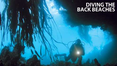
Those of you that have read multiple dive guides, is there one you can recommend which was outstanding about the shore dives? Anywhere in the world is good.
I think the best ones that I've seen for shore diving were created by Shlomo Cohen "Red Sea diving guide"in the 1970s: way before GPS and Satellite imagery was widely available for the public. There was no internet with a trove of information readily available at one's fingertips.
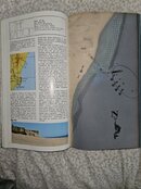
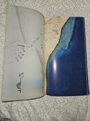
So he used aereal photos, hand drawings and transparent pages as information overlays:
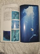
"A remarkable production of a unique diver's guide to the Gulf of Akaba in the Red Sea, at time when the area was still under Israeli control. Rich in practical detail and excellent photography. With numerous appendices, covering background information. Includes full-page aerial shore photographs in color with transparent overlays superimposing current directions and other references. With numerous maps, line drawings and illustrations, color photographs."
The details included how to enter/exit the water- sometimes with photos showing the exact location. For a time that there was no internet this was like the bible for shore diving. The book was translated to several languages and he created them for several countries.
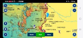
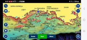
Nowadays it is much easier to do dive site description and mapping in similar way, but in a website taking advantage of GPS, combining Google earth/maps with photos from phone, drone, etc. adding layers of information and so on.
Attaching example from The Canyon at Dahab, Sinai (I found only French Edition at home).