Lake Travis report on Fox News

Please register or login

Welcome to ScubaBoard, the world's largest scuba diving community. Registration is not required to read the forums, but we encourage you to join. Joining has its benefits and enables you to participate in the discussions.

Benefits of registering include

  • Ability to post and comment on topics and discussions.
  • A Free photo gallery to share your dive photos with the world.
  • You can make this box go away

Joining is quick and easy. Log in or Register now!

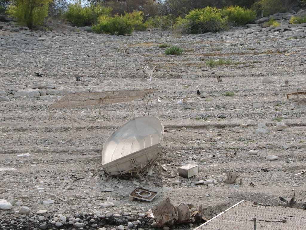
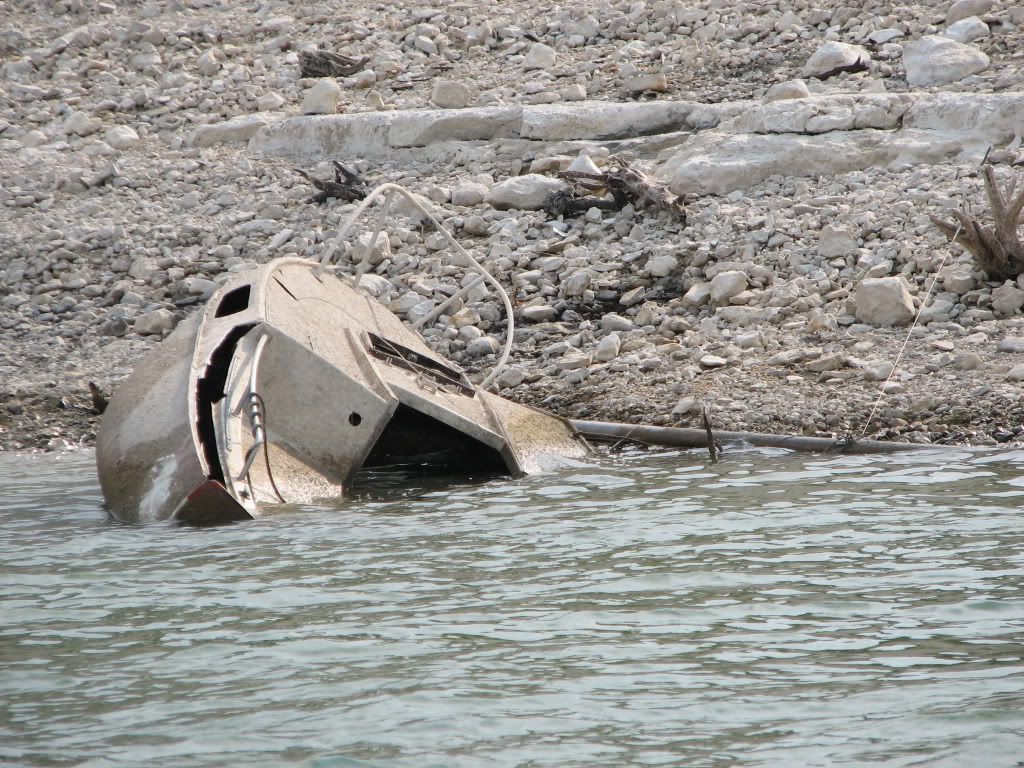
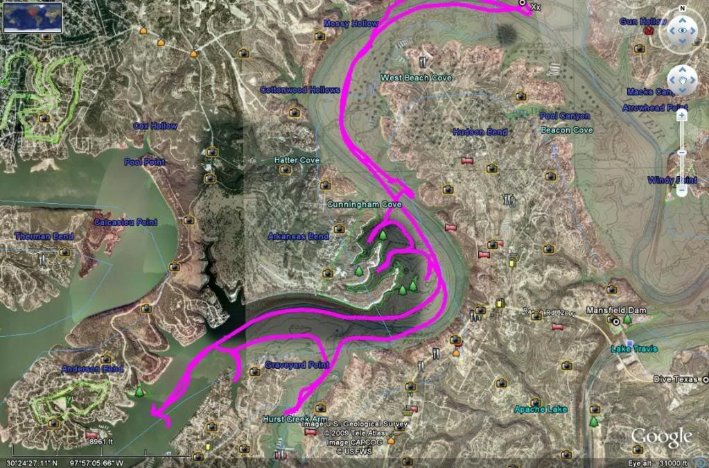
I saw that, cool. I was hoping they'd get my boat in the shots.... I will have to study it more. The remains of the buildings look cool. Anybody have a plane or chopper, perhaps some aerial recon is in order.


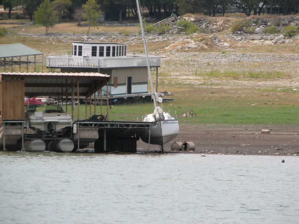
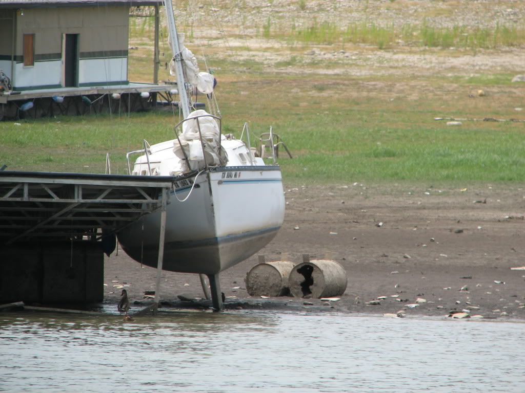
I'm a helicopter pilot here in town, and actually get out to the lake on a fairly regular basis...I don't have a lot of chances to take pics, but I can tell you that I have seen things out there that I have never seen before. I have dived on the old Lake Travis Scuba Park..where the old house boat and shrimper are, and been in 65 feet of water. The houseboat is out of the water now...its pretty crazy! I am waiting for the old airplane fuselage at Mansfield to surface.....

Ryan
 
I am up for an exploration if someone can identify where it is located. We can tag it on the GPS for when the lake rises.
 
I managed to get my boat in the water and tried to look for that house with no luck yet. I looked at both places suggested earlier in the thread and did not find it.
Here are a few pictures I took while exploring.

IMG_5063.jpg


IMG_5066.jpg


IMG_5069.jpg


IMG_5074.jpg


IMG_5077.jpg


IMG_5079.jpg


IMG_5082.jpg


IMG_5085.jpg


IMG_5087.jpg


IMG_5089.jpg


IMG_5093.jpg


IMG_5094.jpg


IMG_5103.jpg


IMG_5105.jpg


IMG_5106.jpg


IMG_5083.jpg


This is how I got my boat out <---video
 
Did you cruise up an down graveyard point by Hurst Harbor (or what's is still wet in Hurst Harbor)?


:shakehead:
 
Did you cruise up an down graveyard point by Hurst Harbor (or what's is still wet in Hurst Harbor)?


:shakehead:

In the news report video, it looks like it is on the right side as you enter a cove. There is a wall of stacked rocks in one of my pictures above that I thought should have been where the house was located. Graveyard point.
Below I have posted my GPS tracks of the places I looked at.

housesearch.jpg


YEP that's the spot you passed. Right in front of Hurst Creek to the left is the area labeled graveyard point with rumors that houses were left behind and flooded when the DAM opened.

:D
 
According to PeppermintPaddi's posted video, the old house is in Schneider's Cove. The coordinance according to this handy little site are N 30 23.74 W 98 00.36 TSNDRC - Entrance to Schneider's Cove.


EntrancetoSchneidersCove.jpg
 
Last edited:

Back
Top Bottom