Philippine storm watch

Please register or login

Welcome to ScubaBoard, the world's largest scuba diving community. Registration is not required to read the forums, but we encourage you to join. Joining has its benefits and enables you to participate in the discussions.

Benefits of registering include

  • Ability to post and comment on topics and discussions.
  • A Free photo gallery to share your dive photos with the world.
  • You can make this box go away

Joining is quick and easy. Log in or Register now!

clgsamson

Koya Kap
Messages
13,068
Reaction score
63
Location
Manila, Philippines
# of dives
200 - 499
for this week October 20-25.....tsk could be the 3rd consecutive devastating storm this year. It is stronger than Ketsana (Ondoy) and Parma (Pepeng).

"Lupit" in Filipino/Tagalog means "Cruel" in english.

activetrack.gif
 
The PI are sure getting hammered this season. Does anyone know if this is related to the El Nino warming conditions at that end of the Pacific? I would assume so. The hurricane seaon on the US East Coast has been very mild.
 
I can't comment on whether the surge of storms is due to El Niño warming or not but one can check the latest Typhoon positions at this site:

Japan Meteorological Agency | Tropical Cyclone Information [click the storm on the map for a close up of the predicted storm track).

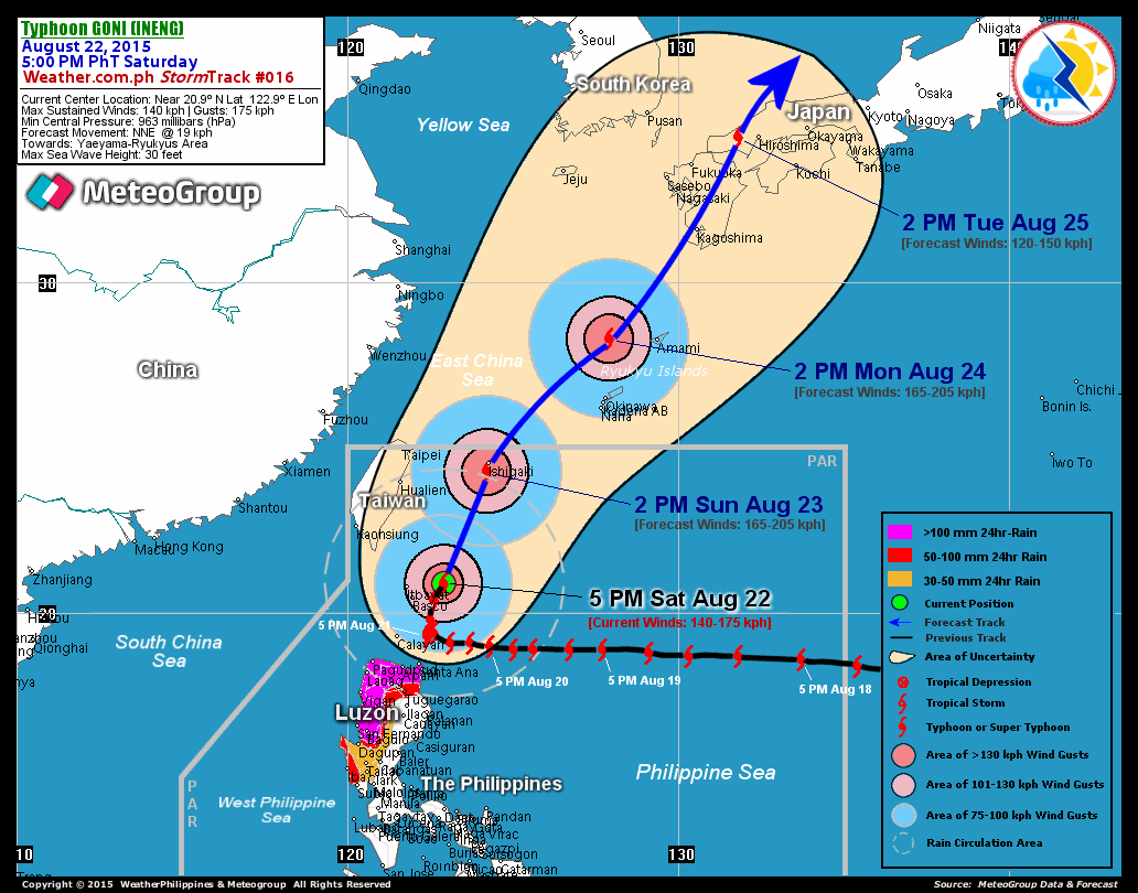
The Philippines generally gets hit a lot every year but the last few weeks have been unusually bad. I am due to fly into Manila on the 24th October so naturally I am keeping a close eye on this one too. There is a chance it may just miss the Philippines though and hit Taiwan instead as its track has gradually been changing northwards... unpredictable though.

For those really interested in tropical cyclone Typhoon path history see this huge global map showing data from 1985-2005:

File:Global tropical cyclone tracks-edit2.jpg - Wikipedia, the free encyclopedia
 
Last edited:
Does anyone know if this is related to the El Nino warming conditions at that end of the Pacific? I would assume so.

Yes it is, and this was forcast 3 months ago if you follow the En Nino posted info. Sea temps in the Western equitorial Pacific are +0.7 to +1.0C above normal in the top 300meters (1000 feet US).

There is a chance it may just miss the Philppines though and hit Taiwan instead as it track has gradually been changing northwards... unpredictable though.

This typhoon will hit Luzon with high winds and drop 500mm+ rain. As per OP's words, it will be worse than Ondoy and Pepeng. As PI's don't have good radar/forcasting equipment it's hard to make a very accurate forcast and warn the most vulnerable.

I just hope that the various dams to be affected have had their water levels reduced so as the government does not drown thousands through 'panic release' of water like before.
 
darnit theres one that my come in this all saints.
hopefully it veers and does not gain strenght.
no name yet and winds of only 55 kph and still 2800kms from the visayas

this should be stickied btw
 
Wow, my girlfriends dads family is directly on that storm track in Gulf of Lingayen. Usually brunt hits mountains on east coast I think so maybe west coast only hit pretty hard. I hope.
 
https://www.shearwater.com/products/perdix-ai/

Back
Top Bottom