- Messages
- 10,954
- Reaction score
- 4,130
- # of dives
- None - Not Certified
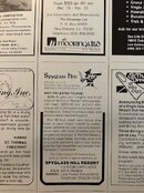
Look at this 40 year old advert…


All this plus they had a pool.
And air was $325 (from ORD) on SAHSA.
All this plus they had a pool.
And air was $325 (from ORD) on SAHSA.