OP
I'm trying to see where your survey results are used? Are you making maps, or just posting GPS #'s for dive sites.?
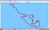
It is for making maps of the dive sites. See attachment.
The wiki is very comprehensive. Nice work on that btw.")
Thanks, although 99.9% of the credit should go to my buddy Peter Southwood.
While I'm still not sure what you're using your towed data/survey for..
Here is a Bathymetric map we made using Grass, and data from our magnetometer.
Is this something like what you want to do?
Yes - that is very nice!
rgds
monty